- Home > Links


The Irish Cultural Museum of New Orleans
Beginning in the 1700’s New Orleans received thousands of Irish who made a treacherous journey from their distant homeland across the Atlantic. And only here will you learn of the sacrifices and contributions these unsung heroes have made to this great city. Only here will you meet the real “New Orleans Irish”, and discover the significant influence these people and their tiny island nation has had on, what we consider, New Orleans today.
Sam Barbera – Big Wheel Novelties
Big Wheel Novelties, provider of Mardi Gras beads, Mardi Gras parade throws, Mardi Gras masks and party decorations for New Orleans! They also provide a wide variety of Irish and Italian merchandise, including throws and parade beads … as well as school supplies, personalized cups and custom imprinted products.
Law Enforcement Emerald Society of Metropolitan New Orleans
Dedicated to the preservation ad education of our Celtic Heritage for all Peace Officers.
Ancient Order of Hibernians – National
The Ancient Order of Hibernians (AOH) is the oldest Catholic lay organization in America. Officially formed in New York in 1836.
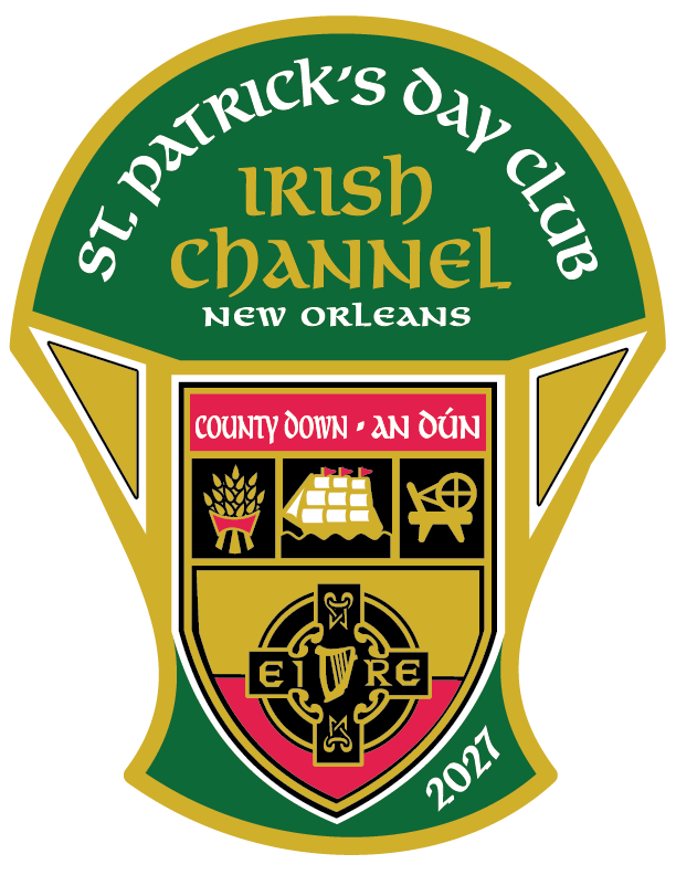
County Down (historically “Downe”), Northern Ireland
County Down (Irish: Contae an Dúin, meaning “fort”), nicknamed the Mourne County, is one of the six counties of Northern Ireland in the province of Ulster. It covers roughly 2,489 km² (961 sq mi) and had a population of about 553,000 in the 2021 census, making it one of the more populous counties on the island.
Geography and climate Located in southeastern Northern Ireland, Down borders County Antrim to the north, County Armagh to the west, the Irish Sea to the east, and Carlingford Lough (and County Louth) to the southwest. It features the dramatic granite Mourne Mountains—where “the mountains of Mourne sweep down to the sea”—with Slieve Donard (850 m / 2,790 ft) the highest peak in Northern Ireland. Other highlights include Strangford Lough (the largest sea inlet in the British Isles), the Ards Peninsula, and the easternmost point of Ireland at Burr Point. The climate is temperate oceanic: mild winters, cool summers, and regular rainfall moderated by the sea.
History The area was central to the ancient kingdom of Ulaid. Downpatrick (the county town) has deep links to St Patrick, who is traditionally said to be buried at Down Cathedral. Normans under John de Courcy invaded in 1177; later Scottish and English settlement during the Plantation of Ulster shaped its mixed Protestant and Catholic heritage. It remained part of the United Kingdom after partition in 1921.